


A cable car will take you to Chopok directly from Biela púta (A6 funitel) to Priehyba. There you will change to the A1 funitel, which will take you to the top station on Mt. Chopok (2004 m above sea level).
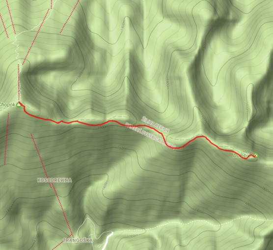
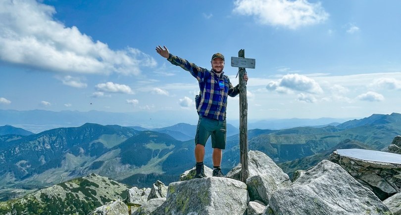
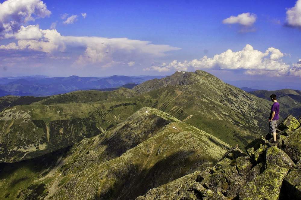
Route: follow the red hiking trail past Kamenná chata, then through Demänovské sedlo and Krúpova hoľa to Ďumbier 2043 m above sea level. Return to Mt. Chopok by the same route.
Starting point: 48.943945; 19.590059
There are paid and free parking spaces at the ski resort – more details at jasna.sk
Take the train or bus to Liptovský Mikuláš and then the bus from Liptovský Mikuláš to the Jasná Nízke Tatry resort (Demänovská dolina). From there, there are various transport options, whether you choose the option of hiking or taking cable cars directly to Mt. Chopok.
At Jasná Nízke Tatry resort there are several accommodation facilities. There are also food options in both summer and winter, in the hotel’s restaurants or snack buffets.