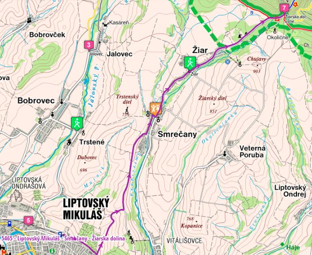
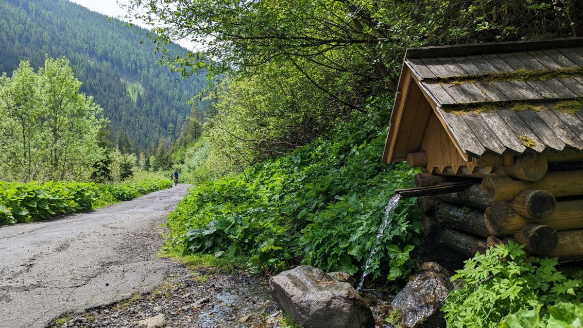
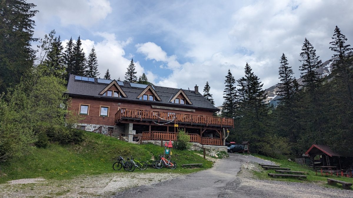
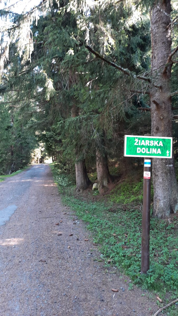
The trail starts behind the railway at Liptovský Mikuláš at the crossroads with the blue trail, passes through the gardening settlement and then rises to Háj-Nicovô. At the top of the climb there is a crossroads of cycling trails, the green trail continues to the left with gravel road with beautiful views to the village of Smrečany. In Smrečany it crosses the blue route and the green one continues along the asphalt road through the village of Žiar to the mouth of the Žiarska valley, where the route ends at the crossroads of several cycling routes.
You can get to Liptovský Mikuláš by direct bus and train from Žilina or Poprad. Paid parking is available directly in front of the train station.
There are several hotels or guest houses in Liptovský Mikuláš that offer accommodation. Other possibilities of accommodation especially in privacy are in Žiarska valley. There are several restaurants in the city center offering Slovak, Italian or Asian cuisine. Fast food is also available.

