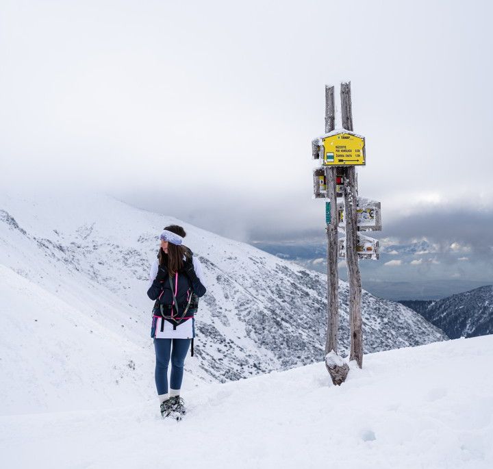
Hiking in Liptov
There are about 50 hiking trails and marked routes in the Liptov region with a total length of 1185 km. They are located in the Tatra National Park (Western Tatras, the Liptov part of the Tatras), the Low Tatras National Park, the Veľká Fatra National Park and in the Chočské Hills. The difficulty types of the routes range from easy to high-altitude ones. Popular routes are the Kvačianska and Prosiecka dolina circuit, the ridge route in the Low and Western Tatras, or the ascent to Veľký Choč. In Veľká Fatra, you can use the cable car in the Malinô Brdo resort, which will comfortably take you almost to a height of 1000 m above sea level.
In Jasná, the cable car will comfortably take you up to a height of 2000 m above sea level. m.. You can also go to Chopok with a stroller or an immobile passenger. There are several mountain huts in Liptov, which offer you accommodation and refreshments while you are hiking in Liptov. The total length of marked trails in Slovakia is more than 14,000 km.

